Cycling on the Tourmalet
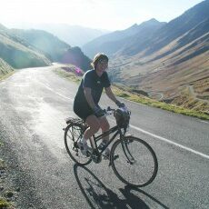
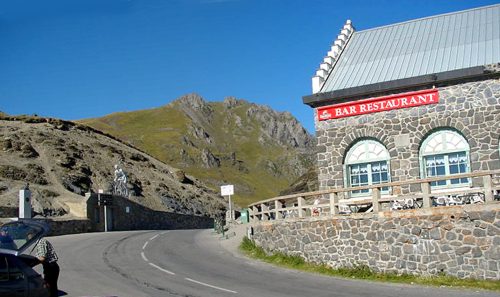
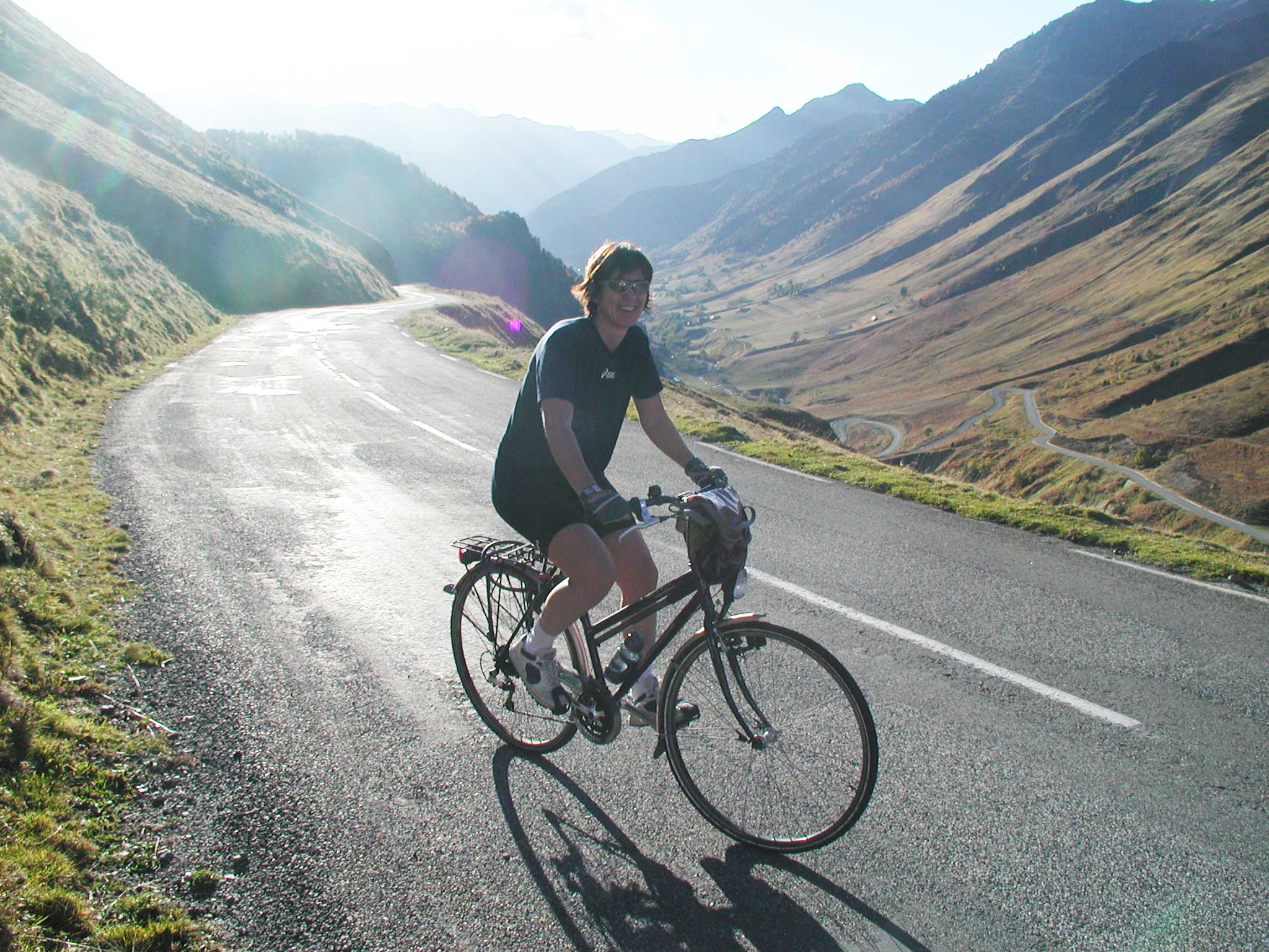
If you have a good condition, you can climb Col van de Tourmalet by bike, a col that is included in the Tour de France every year. In October 2004 I was cycling from Barèges to the Col du Tourmalet without much cycling experience. The nice thing about the mountains in the Pyrenees is that per kilometre a sign indicates how far you still have to go, at what altitude you are and what the average rate of increase is for the next kilometre. It is a route that has been driven by cyclists, although you see more French and Italians than Dutch cyclists on your bike. The summit is at 2115 meters with a beautiful panorama to both east and west sides. There is also a restaurant where you can relax, drink and eat.
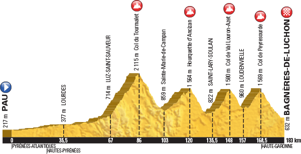
Here is the profile of the 8th stage of the Tour de France in 2016. Our farmhouse is situated at an altitude of 1200 meters, about halfway between Luz st Sauveur and the Tourmalet.
The Col de Val Louron, Col d' Azet, Col de Peyresourde, Luz Ardiden, Hautacam, Col d' Aubisque and many other well-known cols are also close by.
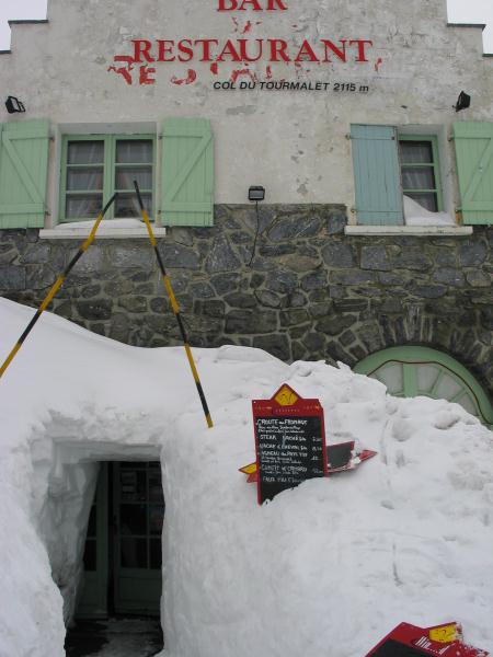
The restaurant is also open in winter, but then it is only skiing accessible. This picture was taken in the winter when a few meters of snow had fallen and the restaurant was only accessible through a hole in the ground under a snow tunnel.

If you are lucky enough to be in Barèges during the Tour (usually around mid-July) you can follow the tour up close. What is also funny is that many amateur cyclists just before the tour head up and are encouraged by the public. On the day before the tour or on the tour itself, the road for cars is closed and you can no longer drive upwards. However, it is possible to go up the lifts from Tournaboup to find a nice spot on the top. If the descent is on the side of Barèges you can also walk to the road or look into the village. The riders will then pass by with great speed.
Mountainbike
It is also possible to make mountain bike tours. Mountain bikes are for rent in Luz st Sauveur. In the village you can follow a trail above the farm past to St Justin. Or cycle to Le Lienz and from there one of the more flat paths through the forest cycling, where the horses also ride. In winter, these paths are often used for cross-country skiing. At the Office du Tourisme you can buy good mountain bike maps of the many trails in the area. They are well marked (VTT), but it is useful to know the level of difficulty in advance.
Cycling on a flat terrain
At 20 minutes drive to Pierrefitte-Nestalas (towards Argelès-Gazost) there is a beautiful flat cycle path all the way to Lourdes. It is about the old rail link.


